
Reading Plymouth's Streets: Port, Lumber, and the Mill

In this post
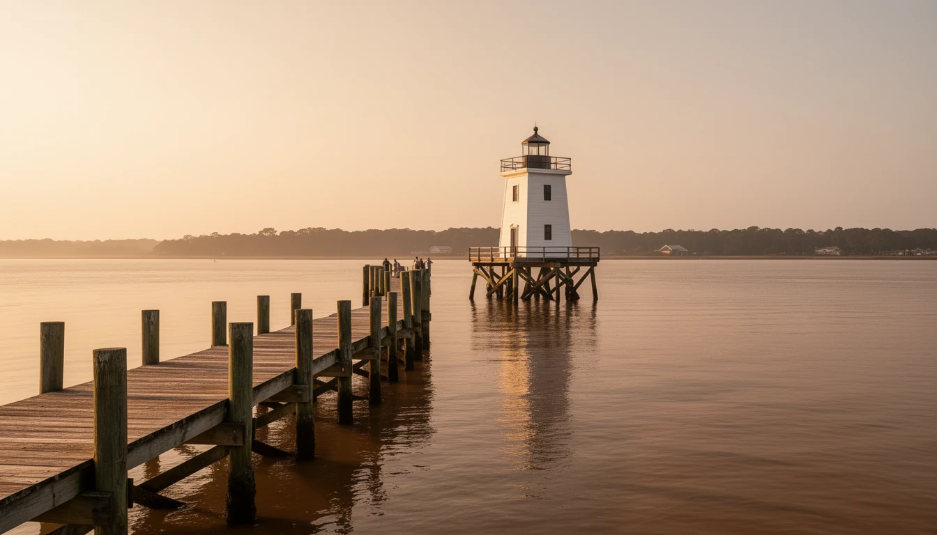
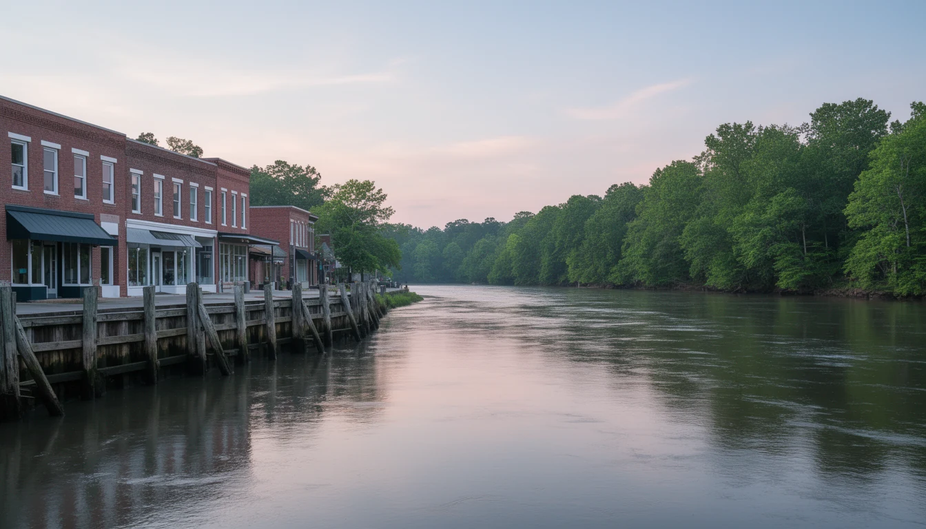
The Roanoke River Lighthouse replica sits at the end of Water Street, where downtown Plymouth meets the water. On a September morning the river is wide and flat, the air smells like mud and sun on wet pilings, and the only traffic is a crab boat working down toward the Albemarle Sound. It is easy to stand there and see a quiet small town. Harder to see, but more useful to a buyer, is the layered economy underneath: the port that laid this town out in 1787, the lumber boom that built the county’s second town, and the pulp mill that has paid the bills since 1937. Each layer left its own streets, its own houses, and its own price math. Reading them is the fastest way to understand what you are actually buying in Plymouth.
A port before it was a town
Plymouth started as a freight play, not a pretty place. In 1787 a planter named Arthur Rhodes subdivided 100 acres of his Brick House plantation into 172 town lots on the south bank of the Roanoke. The location was the point: everything the Roanoke Valley produced had to pass this spot on its way to the sound and out to sea. The General Assembly made Plymouth a port of delivery in 1790, incorporated the town in 1807, and upgraded it to a full port of entry in 1808. By its mid-1800s peak, this was one of the busiest ports in North Carolina.
What moved through it tells you what the region was. Lumber and shingles came down from the timber country upriver. Naval stores, which is the old trade name for the tar, pitch, and turpentine boiled out of the region’s pine trees, went out by the barrel. Tobacco, corn, and cotton filled out the holds. If you have heard eastern North Carolina called the Tar Heel state’s tar country, this is the river those barrels floated down.
What the port era left you to buy
The 1787 plat is still the town. Plymouth’s downtown grid runs straight to the river, the way a working port’s streets do, because the whole design was moving goods from warehouse to wharf. The historic district that sits on that grid went on the National Register in 1991, and walking it is like reading the town’s ledgers: modest late-Victorian and Colonial Revival houses, most of them raised between roughly 1880 and 1930, around an even older core. The district’s earliest known building, the Picot-Armistead-Pettiford House, dates to about 1814. The scale is honest and human, not grand. These were the houses of merchants, ship captains, and mill workers, and they were built to last, not to impress.
For a buyer that cuts both ways. The stock is genuinely old, so you budget for old-house realities: wiring, plumbing, foundations, and the possibility that a previous owner deferred maintenance for decades. The Historic District designation does not freeze you into a museum. It means the character is protected and worth protecting, and it means your renovation should respect the street. What it does not mean is that everything old is automatically charming. Some of it is simply tired, and the price should say so.
The port era also left the town’s public anchors. The Port O’ Plymouth Museum operates out of the 1923 Atlantic Coast Line depot on Water Street, and the lighthouse replica at the waterfront, completed in 2003 after the original 1867 screwpile light, marks the rebuilt riverfront. If you are new to town, those two stops plus a slow walk of the grid will teach you more than any listing description.
The lumber era built Roper
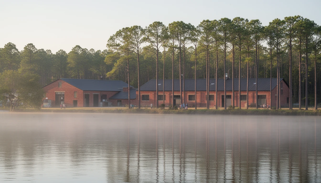
The Civil War broke the port’s run, and the town rebuilt on the one resource it had never run out of: timber. In 1890 the John L. Roper Lumber Company of Norfolk took over the old Lee’s Mill settlement, the county’s original seat of government, and renamed it Roper. At its height the company controlled roughly 600,000 acres of eastern North Carolina timberland, with access to another 200,000. Rail lines followed the timber and tied Plymouth and Roper into the Atlantic Coast Line network. The company’s mills even brought some of the region’s first public water and electric service to the towns it operated in.
That is why the two towns still read differently to a buyer. Plymouth keeps its port-town grid and its riverfront. Roper keeps the bones of a rail-and-mill company town: worker housing on practical lots, the rail corridor running through, a tighter, plainer feel. Both are legitimate places to buy. They just are not the same product, and the difference has a date on it.
The mill changed the math
The single most important date in modern Washington County is 1937, when the North Carolina Pulp Company opened a mill on the Roanoke just outside Plymouth. The mill reorganized the town around itself: payrolls, housing, schools, and retail all followed. Weyerhaeuser bought the operation in 1957 and ran it for half a century. Domtar took over in 2007 and converted the site to softwood fluff pulp, the absorbent material inside diapers and hygiene products. Paper Excellence acquired Domtar in November 2021, and the operation still runs under the Domtar name today.
Here is the honest trade, and you should hear it before you fall for a river view. The mill is the reason Plymouth has jobs and a tax base at all, and it is also a pulp mill: an odor that comes and goes with the wind, log trucks on US 64 at odd hours, and industrial light and noise if you are close to the site. That same mill is a big part of why riverfront here costs a fraction of what it does in Edenton or anywhere near the beach. You are being paid to accept the mill. The full mill story and the job-base breakdown go deeper, and both are worth your time before you write an offer.
How a buyer reads the layers
Put the layers together and Plymouth’s listings make more sense. A house on the old grid downtown is the port era: walkable, historic, and priced for the work an old house needs. Something in or near Roper is the lumber era: plainer, cheaper, thinner on services. And the mill district, the neighborhoods the 1937 payroll built, is where the working-town character is strongest and the mill’s presence is most direct. Match the layer to your plan, and you stop comparing apples to oranges.
Two cautions. First, age is not automatically value: verify the roof, the wiring, the foundation, and the flood insurance before you romanticize the porch. Second, buy the town as it is, mill included. The same history that made this a National Register river town with some of the lowest entry prices on navigable water in eastern North Carolina is the history that made it quiet, thin on services, and 45 minutes from a serious hospital. That trade is the whole deal.
If you want to see the layers in person, start at the lighthouse replica, walk the grid, and then drive the 12 miles to Roper. Then call me and we will talk about which layer fits how you actually want to live. Reach out if you have questions. Happy reading!
Keep reading
10 Questions Before Buying Riverfront on the Roanoke
Ten questions to settle before you buy Roanoke River frontage near Plymouth, NC: flood zone, elevation certificate, dock permits, septic, and insurance.
Washington County's Seat: Why Plymouth, Not Roper
How Washington County, NC got its shape: the 1799 split from Tyrrell, the county seat's move off Lee's Mill, and what the lines mean for buyers today.
7 Drive-Time Checks Before Buying in Plymouth, NC
Seven drives that decide what living in Plymouth costs you in road time, with every mile and minute routed on real roads in Washington County.