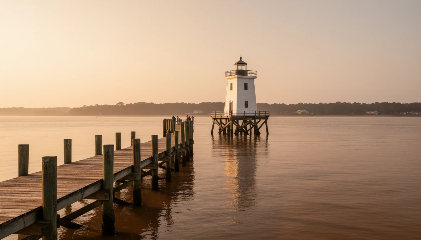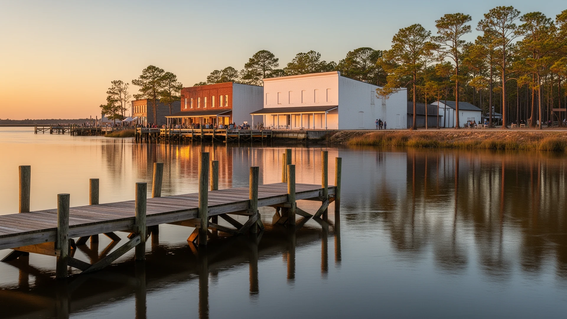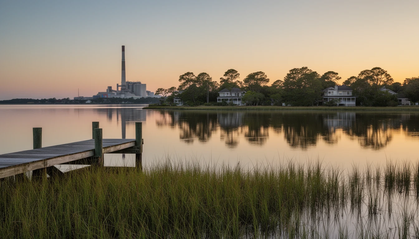


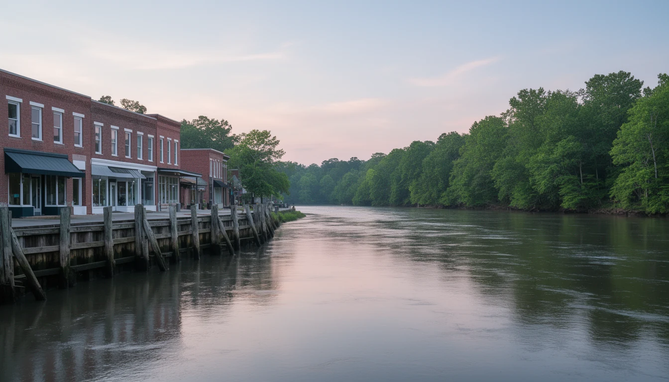
You can read downtown Plymouth in one glance from the foot of Water Street: a wide river out front, a tight grid of streets behind you, laid out in 1787 when boats moved the freight. What that glance will not tell you is the number that decides more purchases here than the flood zone or the porch does. That number is how long it takes to reach the things you use every week.
Washington County has no interstate in it. US 64 runs east and west through Plymouth and carries most of the county’s traffic. NC 45 heads north over the Roanoke into Bertie County. US 17, the north and south artery that eventually reaches I-95, is half an hour west at Williamston. That geometry decides almost everything else about living here, so I routed the seven trips below on the actual road network and listed real road miles and real drive minutes. Every figure was checked in September 2026.
1. The four-minute check: your own downtown
Plymouth to the Food Lion at 824 US 64 East is 1.6 miles, about four minutes. Plymouth to Washington Regional Medical Center at 958 US 64 East is 1.7 miles, about four minutes.
That second one surprises people who assume an 11,000-person county has no hospital. It has one: a 25-bed Critical Access Hospital on US 64 East, roughly two miles from the waterfront, with an emergency department that runs 24 hours a day and was rebuilt and reopened in 2026. It earned that emergency room the hard way. Washington County Hospital suspended operations, sat closed for more than two months, reopened under new management, changed its name, and came out the far side of a Chapter 11 reorganization.
Here is the honest read on it. A Critical Access Hospital stabilizes, treats, and transfers. It is not where you go for a scheduled joint replacement or a standing cardiology relationship, and that is exactly why the rest of this list exists. When you visit, drive both of those two-mile trips at night from the house you are considering. Two miles in daylight and two miles with someone in the passenger seat who needs care are different drives.
2. Roper: 7.8 miles, 13 minutes
Roper sits 7.8 miles southeast of downtown, about 13 minutes by road. It is the county’s second town, the place the John L. Roper Lumber Company took over in 1890 and rebuilt as a company town, and 485 people still live there. It reads that way to a buyer: practical lots, worker housing, a rail corridor running through, plainer streets than the Plymouth grid.
What 13 minutes buys you is space and a lower price per square foot. What it costs you is the errand. There is no grocery in Roper, so the weekly run still routes back through Plymouth, and a specialist appointment still routes through Greenville. Test that drive on a weekday morning behind a log truck, because that is when two lanes stop being a theoretical number.
3. Windsor: 20.7 miles, 32 minutes
Windsor is 20.7 miles and about 32 minutes from downtown Plymouth, and the route is the interesting part. You go east out of town, then north on NC 45 and NC 308 across the Roanoke River into Bertie County. That river bridge matters more than it looks. Until you cross it you are in Washington County; once you are across it, you are not.
Windsor is the Bertie County seat, a Cashie River town with an 1889 courthouse on the square, and that is the practical reason to care. Deeds, court, county records, and the offices a purchase occasionally sends you back and forth to are on that side of the water. Two things worth testing yourself: the bridge on a windy day, and the same trip after dark, because 32 minutes of two-lane through farm country reads differently at 9 p.m. than at noon.
4. Williamston: 21.6 miles, 32 minutes
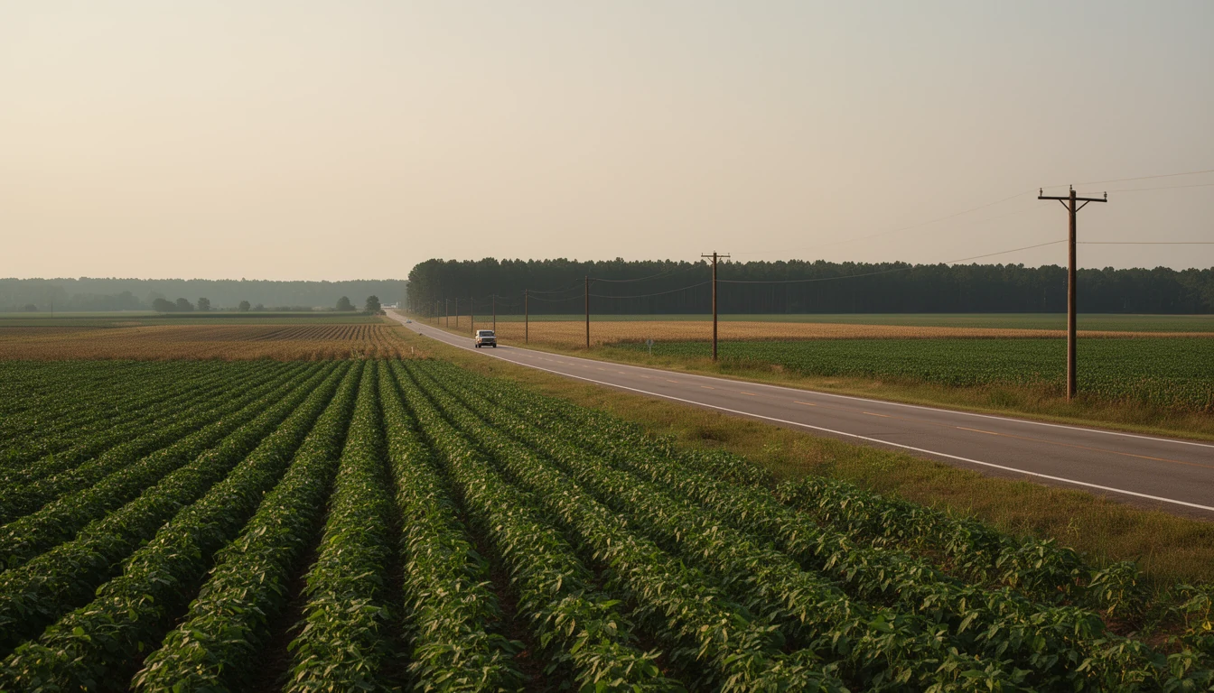
Williamston is the closest real town to Plymouth: 21.6 miles west on US 64, about 32 minutes, crossing the Roanoke on the way. It is the Martin County seat and the junction with US 17, which is the road that eventually connects this corner of the state to I-95 and Greenville. When somebody in Plymouth says they are going to town, this is often where they mean.
The wrinkle is healthcare. Martin General Hospital closed after years of financial trouble, which left Martin County without a hospital and pushed a lot of its care outward. Washington Regional Medical Center in Plymouth stepped into part of that gap by opening a primary care clinic in Williamston. So if you are weighing Williamston as your services town, weigh it for hardware, groceries, and the US 17 on-ramp. Do not weigh it for an emergency room. Schedule your test drive at 7:30 a.m., when US 64 carries mill traffic west and the school buses are out.
5. Creswell and Lake Phelps: 22.7 miles, 29 minutes
Head the other direction and you are in the south county. Creswell is 22.7 miles and about 29 minutes from downtown Plymouth. Pettigrew State Park, at the edge of Lake Phelps, runs about 24.7 miles and 42 minutes, because the last stretch is slower going. Creswell is a crossroads town of 207 people with gas, a church, and a post office, and the land around it is the real product: flat black dirt, drainage canals, timber tracts, and hunting ground.
This is the drive that decides land purchases. Lake Phelps is a 16,600-acre lake, the second-largest natural lake in North Carolina, filled almost entirely by rainfall and shallow enough to see bottom far from shore, and the state park on its shore has been the county’s beach for generations. What the 29 minutes does not include is errands. There is no grocery store down there, and no pharmacy either, so your week still bends back toward Plymouth. Some buyers take that trade happily for acreage and dark nights. Test it before you decide you are one of them.
6. Edenton: 25.5 miles, 39 minutes
Edenton is 25.5 miles and about 39 minutes northeast, and it is the closest thing to a full-service town that a Plymouth buyer gets. Chowan County seat, waterfront historic district on the Chowan, a real restaurant scene, and ECU Health Chowan Hospital on Virginia Road, which routes at 25.2 miles and about 37 minutes.
This is the one people underestimate, because the number is smaller than the Greenville run and the town feels further away than it is. It is also the comparison you will hear most often, since Edenton trades at a meaningfully higher price for much the same river-town package. If you are weighing Plymouth against Edenton, drive both on a Saturday. That is the day the difference shows up in what you can walk to.
7. Greenville: 49.1 miles, 71 minutes
Greenville is 49.1 miles and about 71 minutes west, and it is the reason every other number on this list matters a little less than it looks. ECU Health Medical Center on Stantonsburg Road is the only Level I trauma center east of I-95 in North Carolina, a tertiary referral center with 974 licensed beds, and the teaching hospital for the Brody School of Medicine at East Carolina University. Cancer treatment, cardiac surgery, high-risk obstetrics, and most of the specialists you will ever be referred to are there. So are East Carolina University, the big-box retail, and the restaurant depth that comes with a university town.
If you expect to be in and out of specialists, 71 minutes each way is a genuine line item in the cost of a house, and it deserves a place in your decision instead of a shrug after closing. Two stops in between are worth knowing. ECU Health Beaufort Hospital in Washington, 33.7 miles and about 51 minutes, is a full-service hospital with a 16-bed emergency department and a Primary Stroke Center designation. Sentara Albemarle Medical Center in Elizabeth City, 54.2 miles and about 74 minutes, is the northern option, on a new 90-bed campus the system opened in 2025.
What the odometer does not measure
Add the list up and the trade is plain. You get navigable water, a National Register historic district, and among the lowest entry prices on any river in eastern North Carolina. You pay for it in road time: half an hour to the nearest county seat across the river, 39 minutes to Edenton, 51 minutes to a full-service hospital, and 71 minutes to the specialists. None of that is unusual for rural eastern North Carolina. All of it is survivable. It just needs to be a decision you made rather than a surprise you met in year two.
Every figure here was routed on the real road network in September 2026 and rounded to the nearest mile and minute. Traffic, weather, harvest equipment, and a bridge closure will all move those numbers, so run your own version of this list from the specific address before you write an offer, and time it at the hours you actually drive. If you want a second set of eyes on it, Travis has been on these roads for years and has listed and sold property across Washington County and the counties around it. He can map the drives against the houses you are actually considering, and tell you which ones you will stop noticing and which ones will wear on you. Reach out if you have questions. Happy reading!