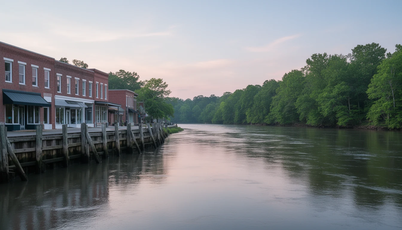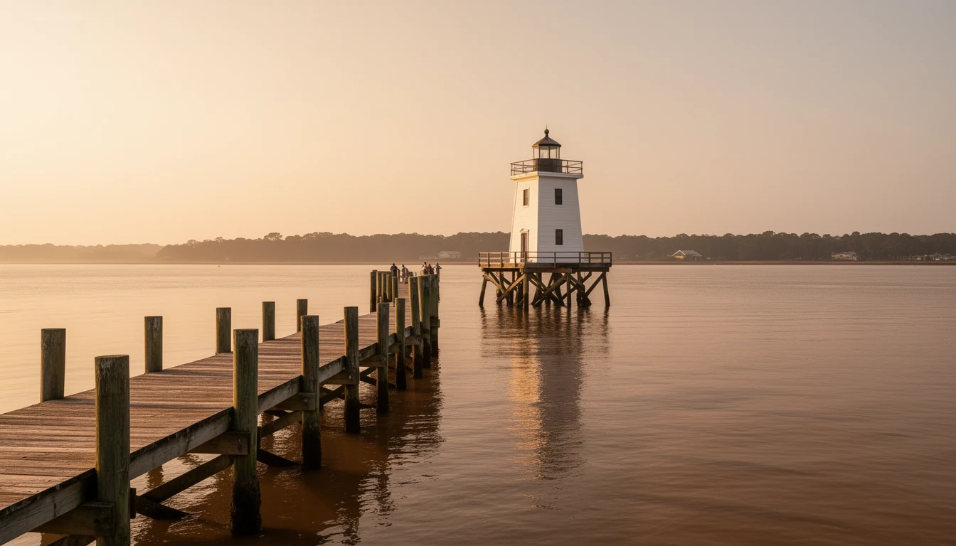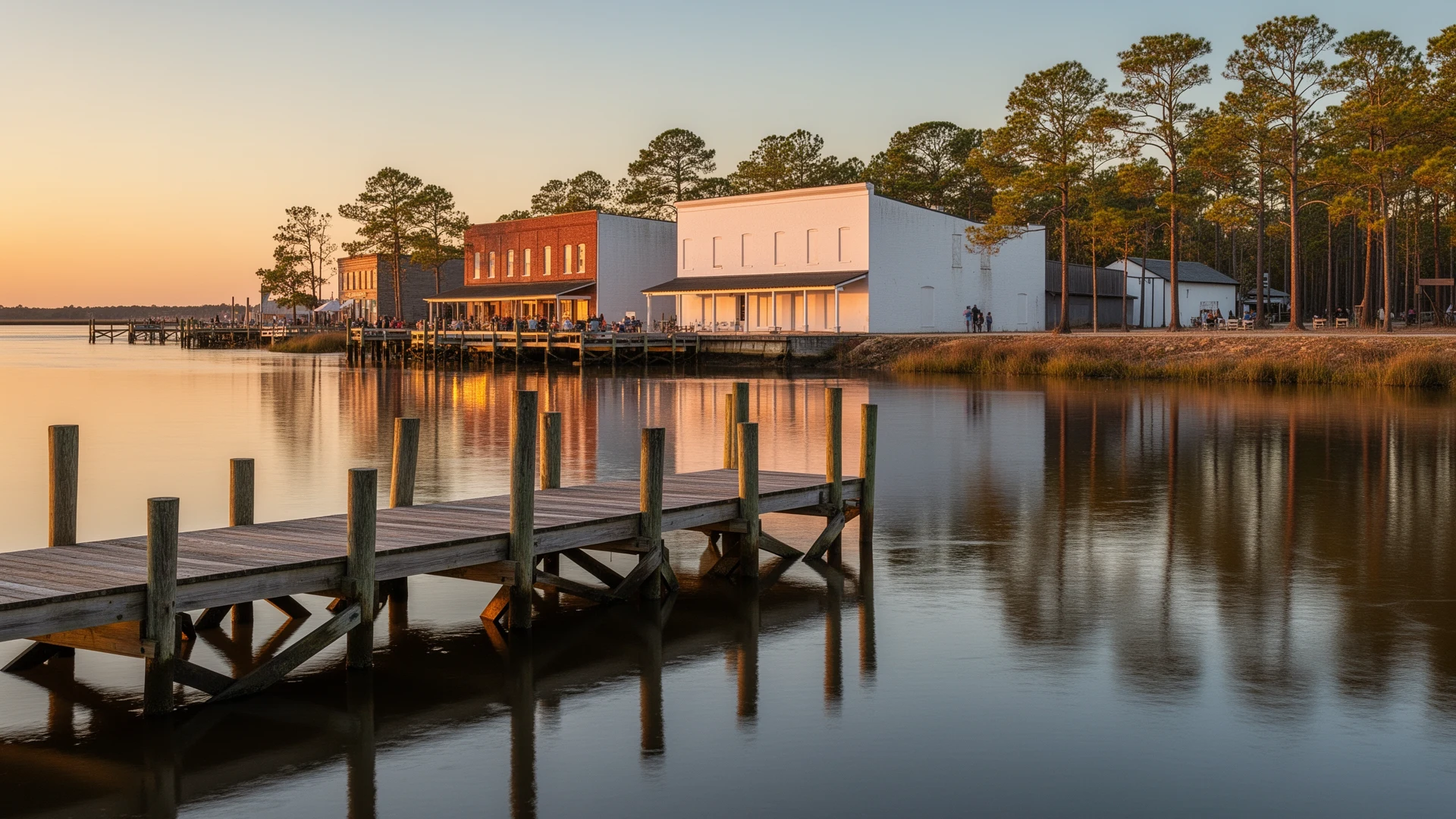


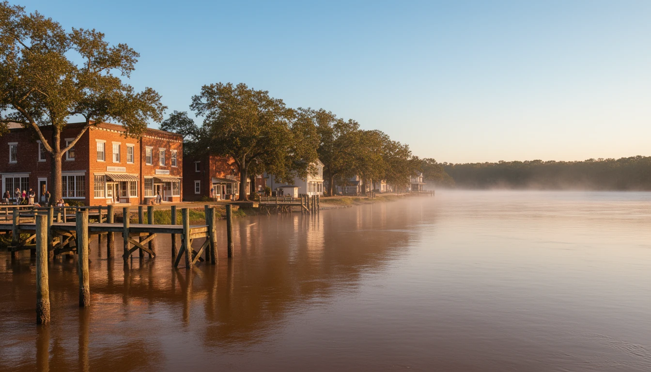
Stand at the foot of Water Street in Plymouth on a cool October morning and the river does most of the talking. The Roanoke runs wide and brown past the town dock, a crab boat works downstream toward the Albemarle Sound, and the wind carries the smell of mud and wet pilings up the street. Behind you the blocks run straight back from the water, the way a port town lays them out. Plymouth is the county seat of Washington County, and once you know how it got there, the whole county map starts to make sense: why the services cluster here, why Roper feels like a different town twelve miles west, and why the farm country south toward Lake Phelps runs on its own clock.
A county carved out of Tyrrell
Washington County is not old by North Carolina standards. The General Assembly formed it in 1799 out of the western third of Tyrrell County, and named it for George Washington, who had died earlier that year. The state had used the name once before, for a county set up during the Revolution on ground that later became part of Tennessee.
Plymouth, though, was already here. In 1787 a planter named Arthur Rhodes subdivided 100 acres of his Brick House plantation into 172 lots on the south bank of the Roanoke, laid out for the water. The location was the whole point. Everything the Roanoke Valley grew and cut had to pass this spot on its way to the sound, so the town grew as a freight town, not a pretty one. The state made it a port of delivery in 1790 and a full port of entry in 1808, and through the early 1800s it ranked among the six main ports in North Carolina.
The seat was somewhere else first
Here is the part most people miss. When the county was brand new, its government was not in Plymouth. The courts were ordered held at Lee’s Mill, a settlement named for an early landowner, Thomas Lee, on the site of present-day Roper, and a courthouse went up there in 1801. For about two decades the county’s business ran through a mill village on the western side of things, while the port town kept doing what ports do.
The General Assembly moved the seat to Plymouth by special act on January 31, 1823. The reasons are the ones you would guess: the port was where the people, the money, and the traffic already were. Plymouth built its courthouse, then kept rebuilding it. The building burned three times, one of those fires set during the Union bombardment of 1862.
The county was not done trying to move. In 1873 the legislature authorized shifting the seat from Plymouth to McKey’s Ferry, up on the sound, if the voters approved it. They did not, and Plymouth has held the seat ever since.
Three towns, one county
That history is why Washington County still reads as three distinct places instead of one spread-out town.
Plymouth holds the seat, the historic district, and the services. The downtown grid Arthur Rhodes drew in 1787 is still the downtown grid, and the district that sits on it went on the National Register in 1991. This is where the courthouse, the schools, the museum on Water Street, and the Food Lion on US 64 east are. If you want to walk to the water and still be five minutes from the hardware store, this is the corner of the county that does it.
Roper, population about 485, is the county’s middle. It took its modern name in 1890 from the John L. Roper Lumber Company, a Norfolk operation that cut the county’s cypress and pine at industrial scale. Roper is plainer than Plymouth and cheaper for it: the old seat’s courthouse is long gone, the housing is the housing of a working lumber town, and you trade walkability for elbow room.
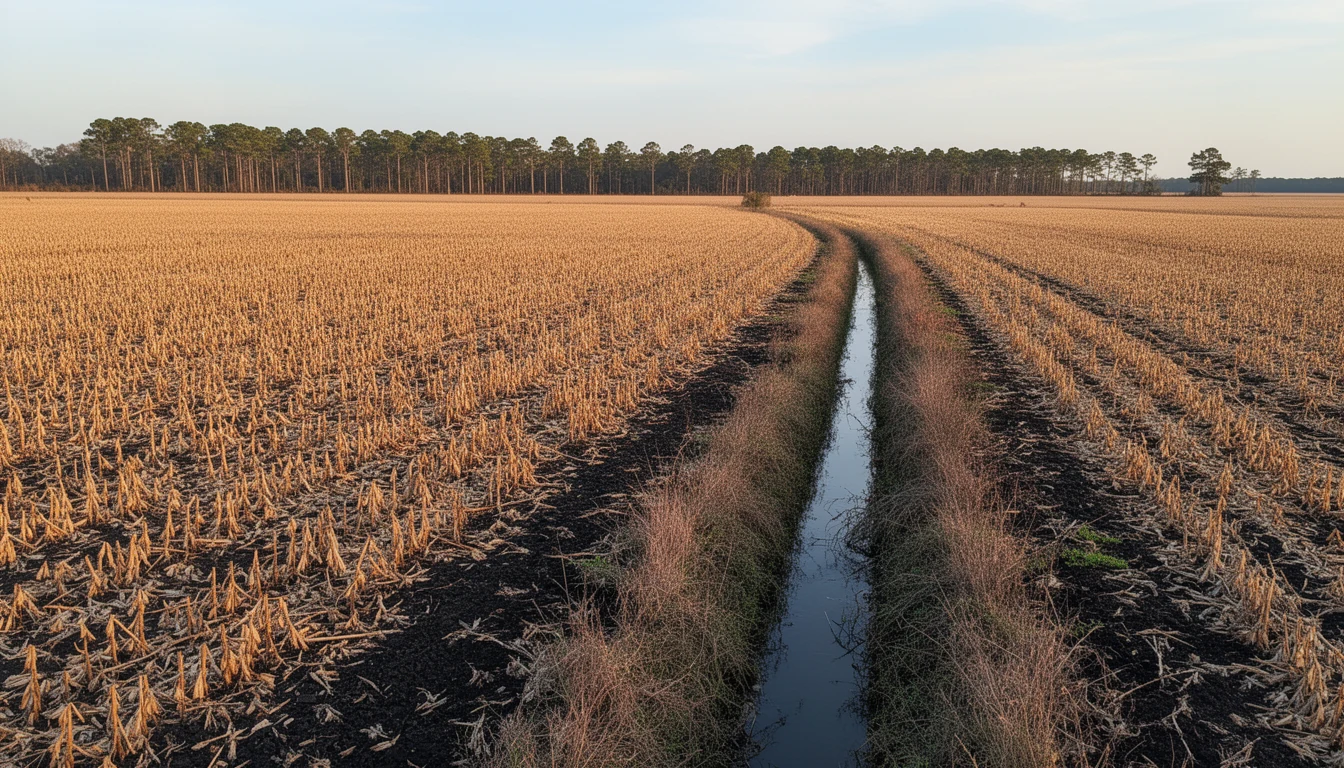
Creswell, population about 207, anchors the south. It sits off US 64 as the gateway to Lake Phelps, Pettigrew State Park, and Somerset Place, and the country around it is the farm belt: large tracts on drained black soil, crossed by a canal grid first dug in the 1780s to pull the water off the swamp. Services here are a crossroads’s worth, and the county seat is a drive.
What the map means when you buy
None of this is trivia if you are shopping for land or a house. A county seat concentrates services, and Washington County’s does it the way a small rural county does: nearly everything that needs a building is in Plymouth, and the farther you get from that grid, the more your week runs on a truck and a route. Buy in Plymouth and the courthouse, the schools, and the store are minutes away. Buy in Roper or out toward Creswell and you are buying space, quiet, and a longer list of drives, in the same county, inside the same thin local economy.
It also tells you where the housing stock came from. The port built Plymouth’s oldest houses, the lumber era built Roper, and the farm belt built the rest. Each era left a different product at a different price, and a buyer who knows which era they are looking at stops comparing apples to oranges.
If you want to see the whole county in an afternoon, start at the courthouse in Plymouth, walk down to the river, then take US 64 west through Roper and on toward Creswell. The map makes the argument better than a listing ever will. Then call me and we will talk about which of the three fits how you actually want to live. Reach out if you have questions. Happy reading!